landscape
outcrop
photos
from
literature
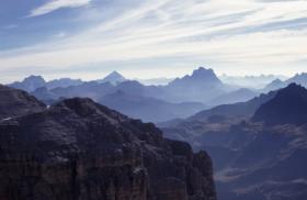
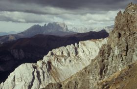
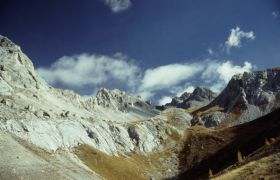
The very characteristic landscape of the Dolomites is dominated by the isolated and well exposed Triassic reefs
The dolomite forms steep faces and between them there are some marl horizons
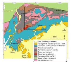
Map of Southern Alps (after Bosselini, 1994)
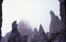
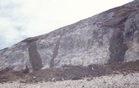
Erosional towers of Middle Triassic dolomite
Olistholite in a deep marine sequence - Passo di Sella
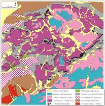
Map of Dolomites (from Bosselini, 1994)
Perche e stupendo
Basalt and andesite dikes penetrating Triassic limestone
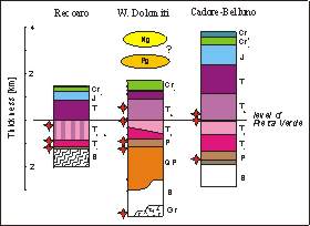
Schematic stratigraphy of the three major structural blocks
Marmolada at the background
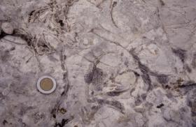
Megalodus in Upper Triassic limestone
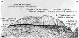
The architecture of the Civetta Group (Doglioni, 1991)
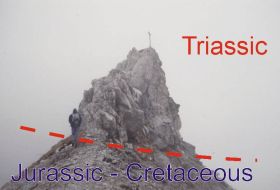
Morphology follows the lithology
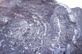
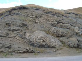
Folded evaporitic sequence
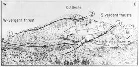
The structure of Col Bechei reflect Paleogene and Neogene thrusting (Doglioni, 1991)
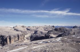
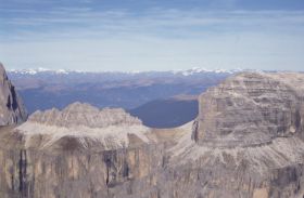
Sella plateau - the Gross Glockner at the background
The smallest klippe of the world - only a tiny Triassic block indicate an overthrust plane